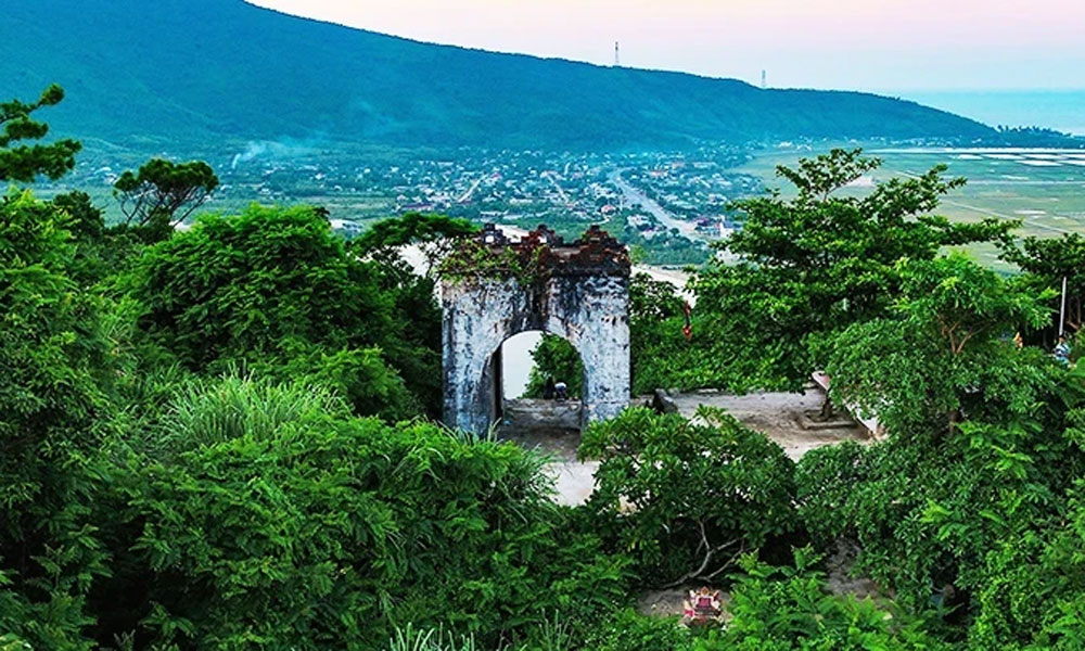
 Bắc giang

Touching Nho Que River
To get to the boat dock to explore Nho Que, the most popular route chosen by tours or self-guided travellers is along Highway 4C (also known as Happiness Road), through Dong Van Town and over Ma Pi Leng Pass, near Meo Vac District. There visitors will see a sign leading to Nho Que 1 Hydropower Lake (in Ta Lang Village, Pai Lung Commune).
 |
|
Nho Que River. |
Continuing for nearly 10 kilometres on the winding and bumpy trail with many continuous downhill sections, travellers will see the parking and ticketing area. After the fatigue during the journey, the cool air and the turquoise water colour are wonderful experiences.
A boat tour around the Nho Que River usually lasts about two hours. From Ma Pi Leng Pass, looking around, the Nho Que River is like a soft green silk strip passing through a series of jagged and grey cliffs. The river originates from the mountains of Yunnan (China) and flows about 50 kilometres into Vietnam and through special terrain, creating rare landscapes, including the Tu San Canyon, the deepest river canyon in Southeast Asia.
Magnificent and overwhelming are emotions most people feel when the boat stops right in front of Tu San Alley, admiring the two giant cliffs nearly 900 metres high that nature has created over millions of years. Visitors can also rent kayaks or SUPs (stand-up paddleboards) for paddling, fishing, camping and admiring the sights at some coastal locations. The purple and pink Tam giac mach (Buckwheat) flowers and yellow wild sunflowers complete the beautiful natural picture of the Nho Que River.
Also, on this journey, travellers can see life quietly growing from tiny villages clinging to mountain rocks. Thanks to that, the remote land of Ha Giang has never ceased to be attractive to people who like moving.


Source: NDO


Reader's comments (0)