Ha Giang: where winter breathes life into northern Vietnam
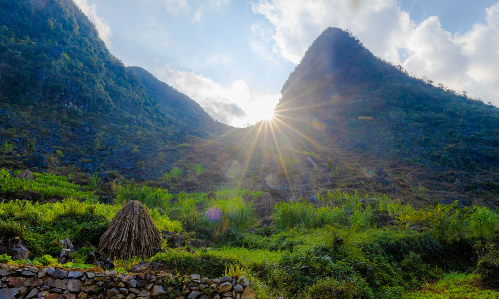
In early winter, Ha Giang's landscapes burst with emerald rivers and wildflowers, painting a picture that showcases the beauty of Vietnam.
 |
|
Vu Ngoc Thien, a first-time visitor to Ha Giang in the northern highlands, documented the beauty along the route from Dong Van District to Meo Vac Town. The photographer began his three-day journey on Dec. 1, traveling from Hanoi to Ha Giang's key spots before returning to Hanoi. |
 |
|
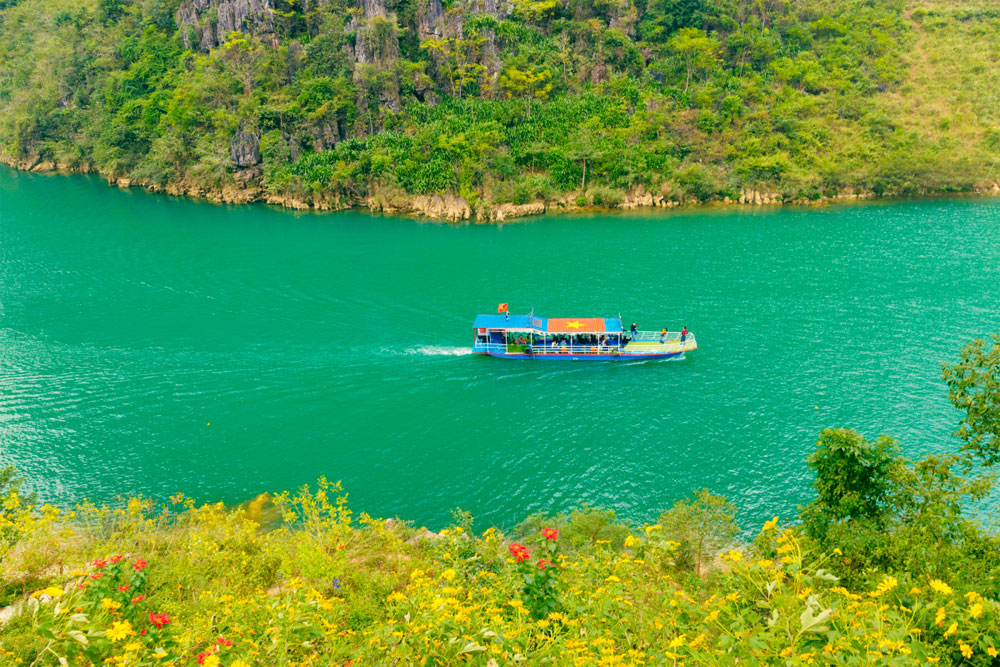
One of his stops was the Nho Que River, known for its emerald water that winds through the Happiness Road. Happiness Road is a 200 km route connecting Ha Giang City to the upland districts of Quang Ba, Yen Minh, Dong Van, and Meo Vac. Recognized as a Vietnamese Scenic Heritage Site in 2009, the river is considered one of Vietnam's most unique tectonic valleys. Visitors often take a boat trip along the river, heading toward the Tu San Canyon at the foot of Ma Pi Leng Pass. |
 |
|
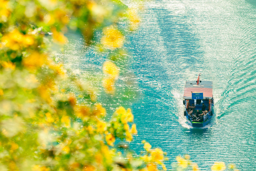
Along the riverbanks, wild sunflowers bloomed during Thien's visit, creating a scene of golden flowers, greenery, and the blue of the river. At the beginning of December, Ha Giang enters winter, though the temperatures remain pleasant. It is around 15 degrees Celsius during the day and colder at night. Visitors typically wear light jackets to stay comfortable. |
 |
|
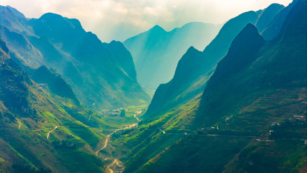
The 36-year-old photographer shared that he was captivated by the beauty of Ha Giang's mountains and forests. While photographing at sunset in Meo Vac, watching smoke rise from hillside homes, he felt a sense of peace. "Traveling here made me realize just how many beautiful places Vietnam has," Thien said. |
 |
|
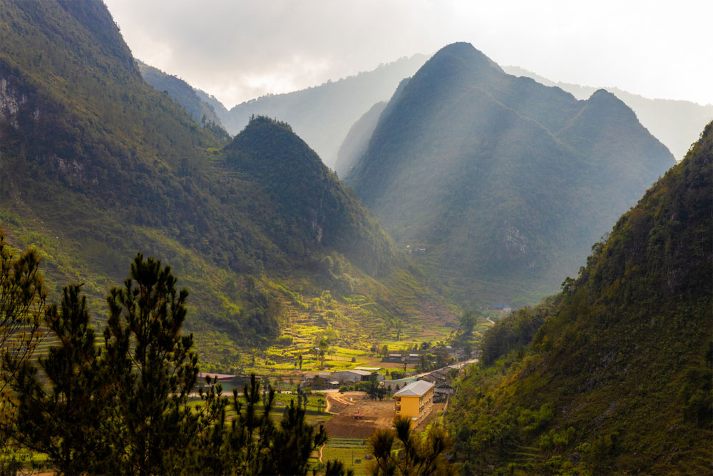
From Meo Vac, Thien continued to Yen Minh, a district with terrain, slopes, and an average altitude of 1,200 meters. The district is divided into four landscapes: high mountains, low hills, valleys, and karst formations. Thien was drawn to the valleys, where terraced fields nestled between mountains. |
 |
|
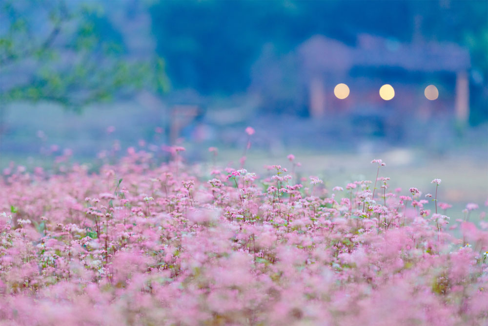
As it was his first visit to Ha Giang and time was limited, the photographer focused on must-see attractions in the province. He plans to return in the future to explore more spots and spend longer at each destination. The photo shows a pink field of buckwheat flowers at the entrance to Lo Lo Chai Village. |
 |
|
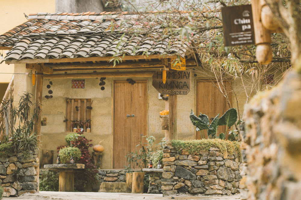
Lo Lo Chai is a village in Lung Cu, Dong Van District, just 1.5 kilometers from the Lung Cu Flag Tower, the northernmost point of Vietnam. It is known for its preserved cultural heritage, including trinh tuong houses (houses with walls made of soil) built by the Lo Lo ethnic group. |
 |
|
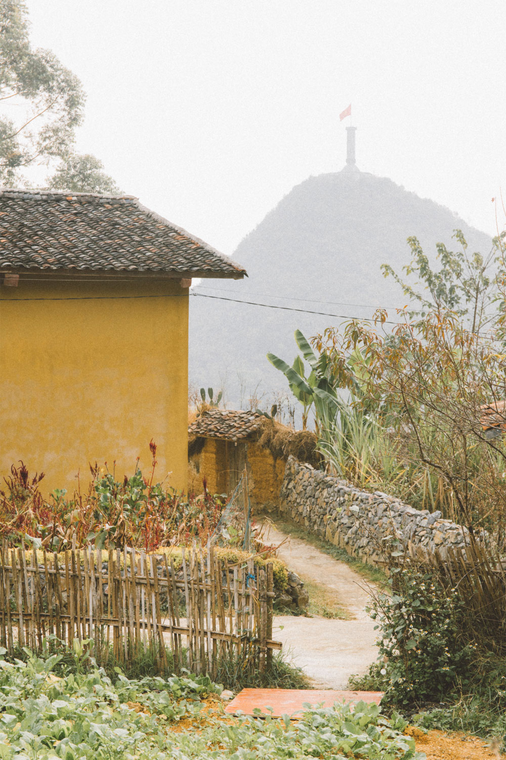
At the beginning of 2022, the village was recognized as a Cultural Tourism Village. Since then, local authorities and residents have worked together to develop tourism more professionally. The photo captures the entrance to a local home, with the Lung Cu Flag Tower visible in the distance. Every house and corner in the village offers spots perfect for photography. |
 |
|
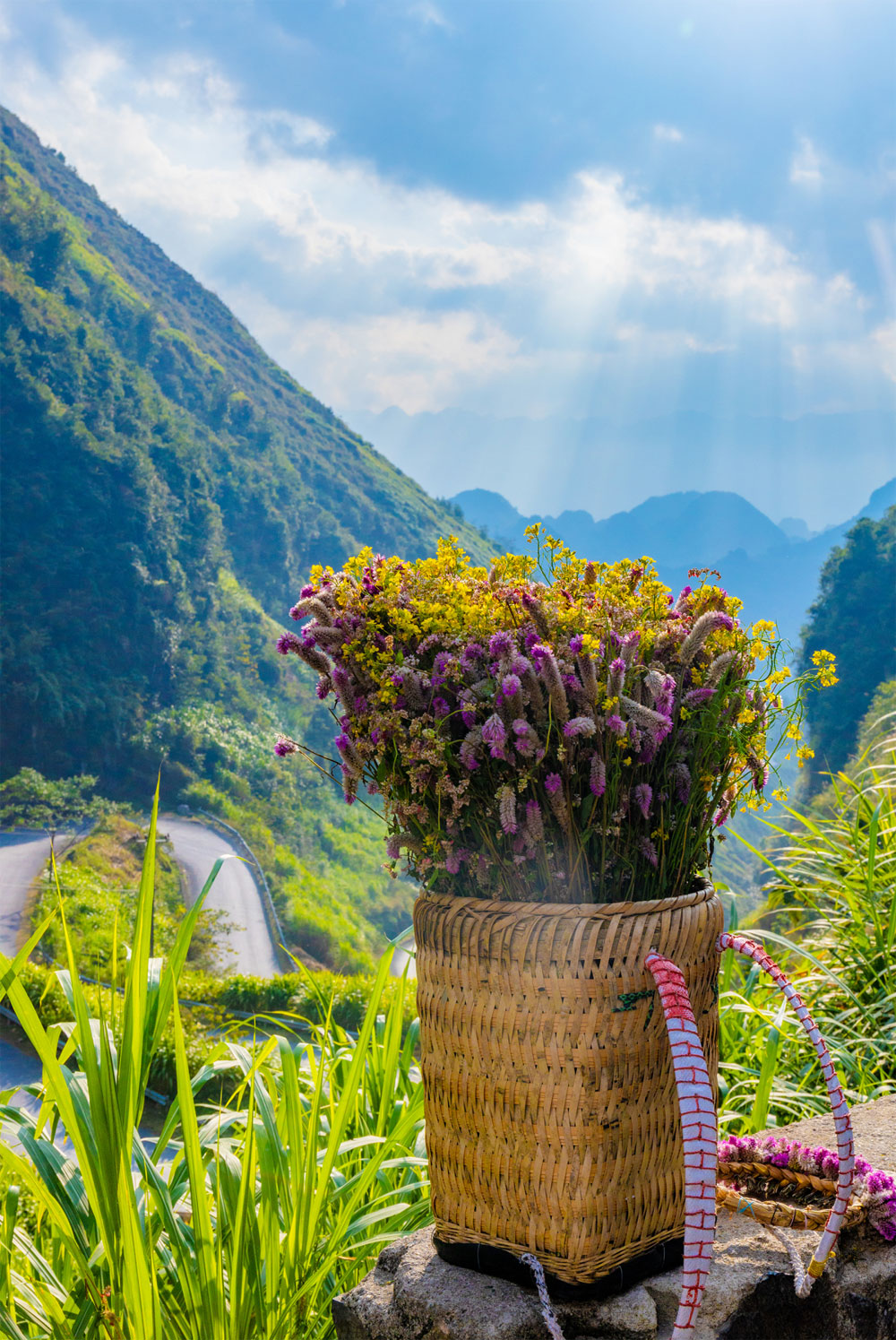
Thien captured a photo of a basket filled with wildflowers while passing through Tham Ma Pass, one of the most beautiful mountain roads in northern Vietnam. This spot is a popular stop for visitors, who often take photos from above to admire the curves of the pass below. |
 |
|
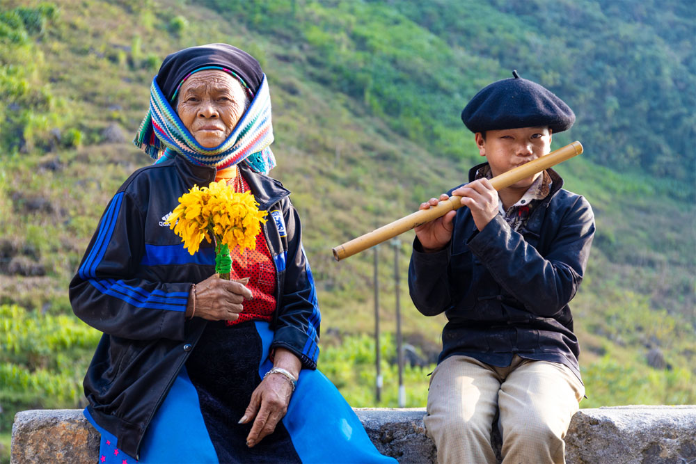
Two local residents were captured through Thien's lens on the afternoon of Dec. 3. By evening, the temperature in Ha Giang dropped below 10 degrees Celsius, but the photographer said he enjoyed the chill. However, he felt the trip was not quite perfect as it was not flower season. He plans to return next spring to capture the beauty of peach blossoms blooming across the highlands. |
 |
|
Local girls carrying baskets of flowers posed for photos with visitors at Tham Ma Pass. The photographer shared that visiting Ha Giang helped him understand why it ranks among Vietnam's top tourist destinations. "Ha Giang is majestic, it's a paradise for artists, photographers, and adventure travelers alike," Thien said. |
 Bắc giang






Reader's comments (0)