Master plan of Bac Giang city and Viet Yen township approved
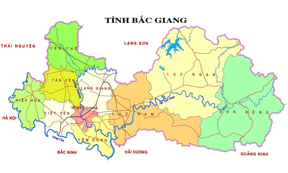
The scale to make the master plan of Bac Giang city until 2045 (at 1:10,000 ratio) includes the whole natural land area of current Bac Giang city and Yen Dung district.
 |
|
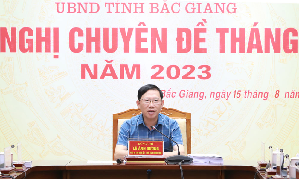
PPC Chairman Le Anh Duong hosts the conference. |
The planning boundaries are defined as follow: the east borders Luc Nam district, Bac Giang province and Chi Linh city, Hai Duong province, the west borders Viet Yen district, the south borders Que Vo district, Bac Ninh province (Cau river) and the north borders Lang Giang and Tan Yen districts. The planning area is over 25,800 hectares.
It is targeted to build Bac Giang into the first-tier city by 2030 (when all of the administrative boundaries of Yen Dung district will be merged into Bac Giang city). The urban space of Bac Giang city will be built following the multi-center connection model through 3 belt roads. The urban centers will be developed based on the natural structure with Nham Bien Mountain and Thuong River as the hearts.
The master plan of Viet Yen urban area until 2045 (1:10,000 ratio) includes the whole administrative boundaries of Viet Yen district with a land area of about 17,000 hectares. Viet Yen is targeted to become a township by 2025 with Bich Dong town as the center.
After discussion, the members of the provincial People’s Committee agreed to approve the schemes presented at the conference. For the next steps, the district was assigned to work with related agencies to complete necessary procedures to submit to the competent authorities in accordance with regulations to recognize Viet Yen district as township in the near future.
 Bắc giang








Reader's comments (0)