Bac Giang – Land of heritage
Regarding geography, almost all the province belongs to large mountain ranges such as Yen Tu, Thai Hoa, Bao Dai, and Cai Kinh and some mountains like Nham Bien, Quang Phuc, Trung Son, Tien Son, and Thu Son.
 |
|
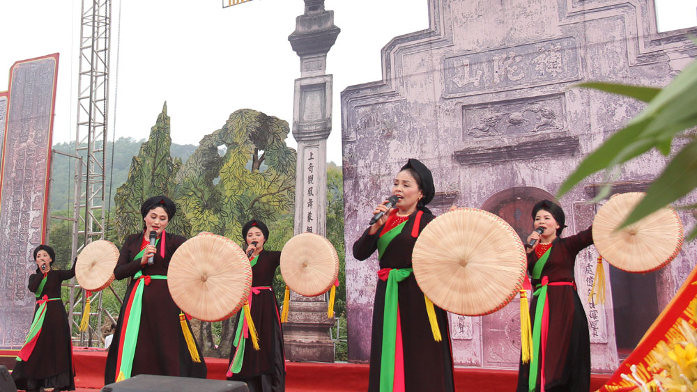
Quan Ho singing was honoured by UNESCO as an intangible cultural heritage of humanity. Quan Ho folk songs are performed at the Bo Da Pagoda Festival (Viet Yen). |
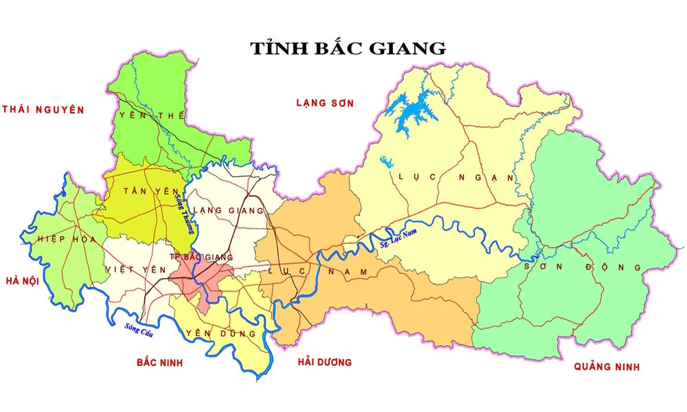
To the south of the Thu Son, Tien Son, and Nham Bien mountains is Cau River with slowly flowing water. It forms the boundary between Bac Giang province and Bac Ninh province. If you look at the map, you will see the topography of Bac Giang like a big fan spreading out with three river valleys: Cau River, Thuong River and Luc Nam River. All the three rivers flow to Luc Dau River and then the East Sea.
The name of Bac Giang dated back to the pre-Le dynasty before the 10th century. Here there were traces of post-Stone Age residents in An Chau, Khe Tau, Chu street, Chu village, and Bo Ha. These vestiges were formed about 10,000 years ago, before the Bronze Age of Dong Son culture.
At the beginning of the Ly dynasty, in Bac Giang, there were three king’s sons-in-law (from Giap and Than families). These families helped the Ly kings safeguard the northern frontier. In the Tran dynasty, Tran Hung Dao chose Bac Giang to set up the Sa Ly-Bien Dong-Noi Bang defence line to intercept the Yuan-Mong invaders in the 13th century.
After the 15th century, the land of Bac Giang had little major changes, so people’s life gradually prospered. During the resistance war against the French colonialism, Bac Giang was the main area of the Yen The peasant uprising movement led by Hoang Hoa Tham lasting nearly 30 years (1884 - 1913). After that, the Party Central Committee selected Hiep Hoa land as the Safety Zone II of the revolution, where the masses raised and hid many Party officials before August 1945.
The Party Committee of the Northern Region held many political and military training classes for cadres throughout the country to prepare for the general uprising. During the war against the US, Mai Suu area (Luc Nam district) was chosen as a training center for anti-American troops. From here, groups of soldiers went to the battlefields to perform missions, creating many feats of arm in emulation with the big rear of the North.
Since the renovation period, authorities at all levels and competent agencies of the province have paid attention to the comprehensive development across fields such as economy, politics, socio-culture, and national defence and security. All districts and communes have seen strong changes. Industrial zones have been opened to attract workers and create jobs. Everywhere, people have engaged in emulation movements to build new-style rural areas.
 |
|
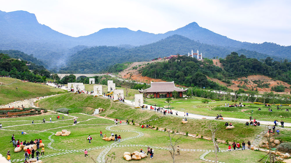
A corner of the Tay Yen Tu spiritual - ecological tourism area. |
Those outcomes were attributed to the participation of local authorities at all levels, sectors, mass organisations and people. The results were really encouraging, making everyone proud and willing to continue upholding their achievements.
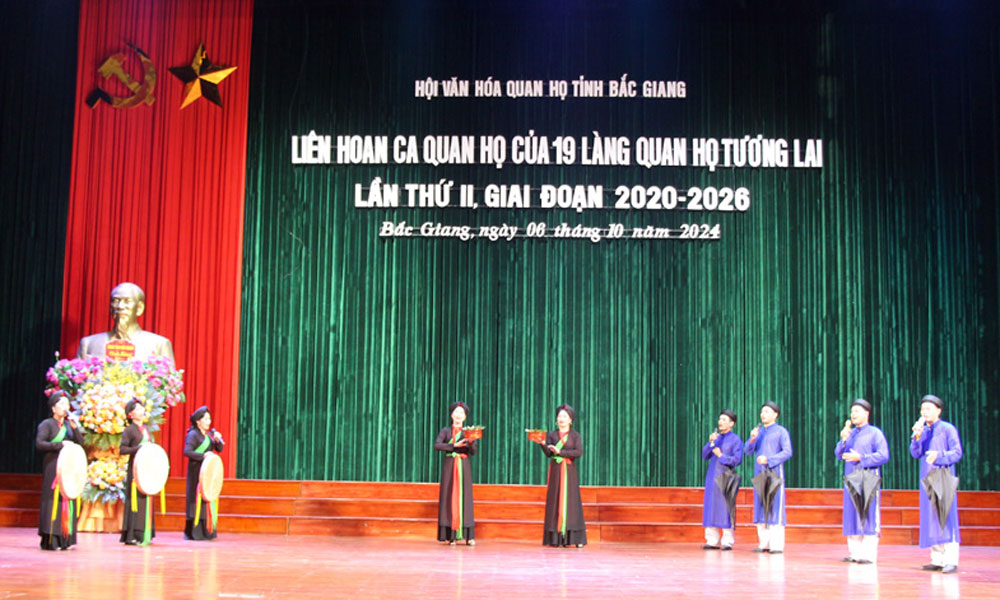
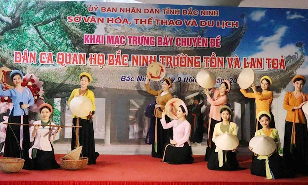
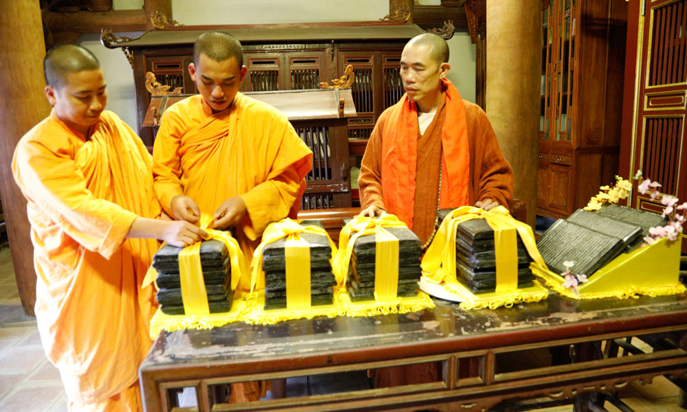
Particularly in the culture-tourism field, everyone clearly sees that Bac Giang boasts a huge treasure of cultural heritages, including a collection of woodblocks at Vinh Nghiem Pagoda, Quan Ho (love duet) folk songs, and Ca tru (ceremonial singing), which were recognized by UNESCO as cultural heritages.
Relic sites related to the Yen The Uprising, Vinh Nghiem Pagoda (Yen Dung district), and Bo Da Pagoda (Viet Yen district) have been recognized as special national relic sites. Sixteen communes of Hiep Hoa district have been recognized as belonging to the Safety Zone II. The Tay Yen Tu spiritual-cultural tourism area has been opened to attract visitors...
Tran Van Lang
 Bắc giang







Reader's comments (0)