PM approves for Bac Giang province Plan in period 2021 – 2030 with vision to 2050
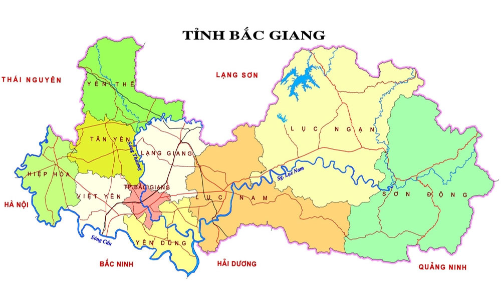
The Decision approves for the planning boundary of Bac Giang province which consists of the whole Bac Giang province with natural area of 389,589 ha at the geographical coordinates from 21 degree 07 to 21 degree 37 North latitude and 105 degree 53 to 107 degree 02 East longitude in the Northern midland and mountainous region.
|
It borders Lang Son province and a part of Thai Nguyen province to the North, Bac Ninh, Hai Duong and Quang Ninh provinces to the South, Thai Nguyen province and Hanoi capital to the West, Lang Son and Quang Ninh provinces to the East.
By 2030, Bac Giang strives to be modern industrial province with GRDP in top 15 leading provinces nationwide in the Northern midland and mountainous region.
Accordingly, the space dividing plan of the province consists of three regions. Key region (South West) includes the districts of Hiep Hoa, Viet Yen, Yen Dung, Bac Giang city and a Southern part of Lang Giang district, West – South West of Luc Nam district. Bac Giang city is the center.
The East region includes the districts of Son Dong, Luc Ngan and Luc Nam. Chu town is the center.
The North region includes the districts of Yen The, Tan Yen and Lang Giang. Voi town is the center.
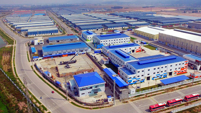
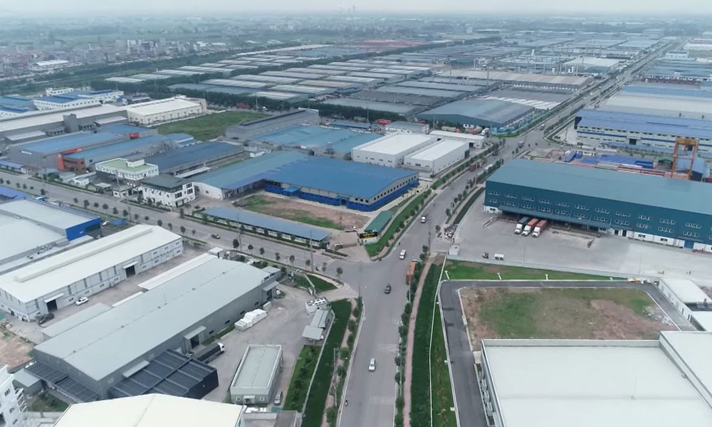
By 2030, the province has 29 urban areas and plans 23 service – urban areas in connection to industrial parks, entertainment, sports and resorts. Meanwhile, the province will plan 29 industrial parks with total area of 7,000 ha together with 63 industrial clusters covering over 3,000 ha.
Source: BGTV
 Bắc giang






Reader's comments (0)